Home / Capabilities / Geospatial

01 · Geospatial

Geospatial Services

GIS & Remote Sensing

Spatial databases, analysis, cartography, mobile GIS

LiDAR & Photogrammetry

Aerial data capture, 3D modeling, DTM/DEM generation

Software Development

Custom GIS platforms, decision support systems

GIS Services

Sky Group partners with municipalities, infrastructure agencies, and private organizations to transform paper and digital records into accurate, reliable GIS database layers. Our services span the full geospatial data lifecycle — from initial digitizing and geo-referencing to advanced spatial analysis, strategic roadmapping, and mobile deployment.

GIS Data Generation & Database Creation

Cartographic production and data management into a maintained GIS.

Spatial Analysis & Predictive Modeling

Overlays and modelling for planning and policy use.

Geospatial Strategy & Roadmap Advisory

How an agency should structure and use spatial data.

Data Integration & Migration

Records digitised, georeferenced and moved into GIS.

Professional Cartography

Map production for statutory and technical audiences.

Mobile GIS & GPS Navigation

Field-ready mobile GIS applications and GPS navigation tools for real-time data capture, asset management, and on-site decision support.
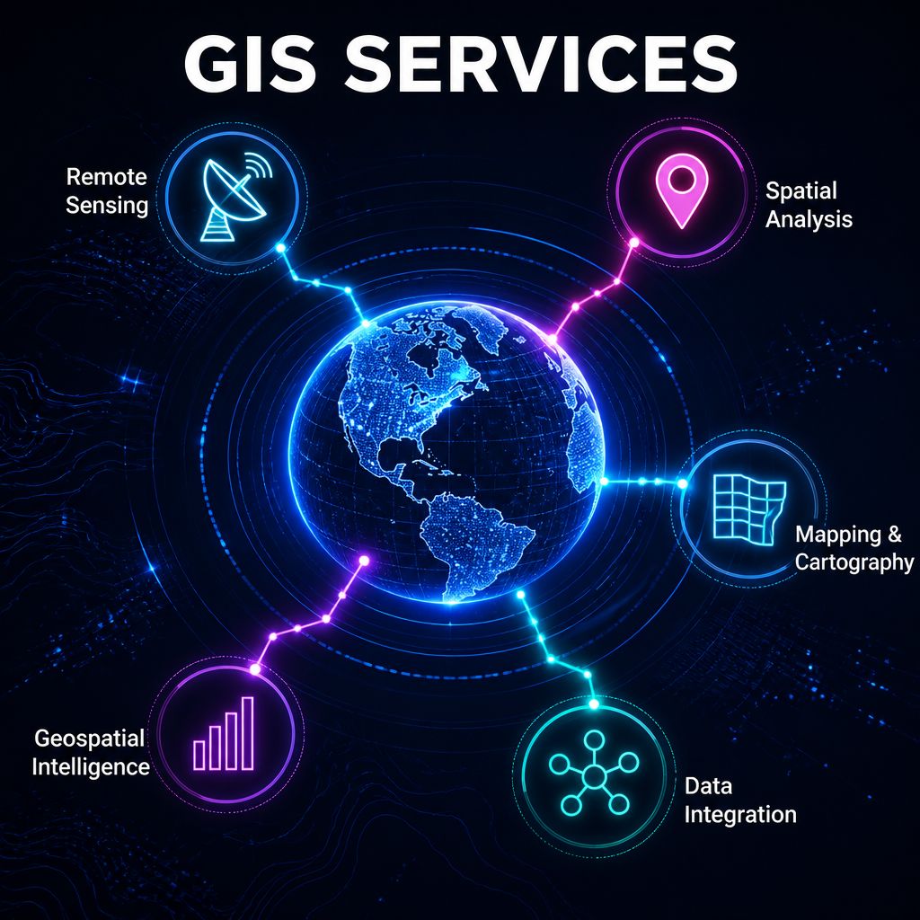
GIS services: remote sensing, spatial analysis, cartography and data integration

Surveys

Topographic

Contour, DGPS, boundary, as-built, Total Station, river cross-sections & more

Physical & Recon

Road inventory, POI, heritage, route & reconnaissance surveys

Control Survey

DGPS-based control point networks for high-precision site reference
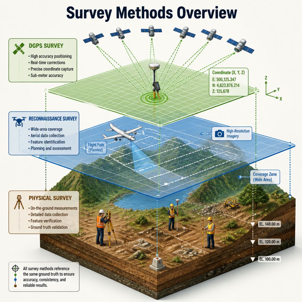
Survey methods overview: DGPS, reconnaissance and physical survey on a common ground truth

Surveys

Socio-Economic

Household, commercial, FGDs & willingness-to-pay surveys

Traffic

Volume counts, OD surveys, speed-delay, parking & preference studies
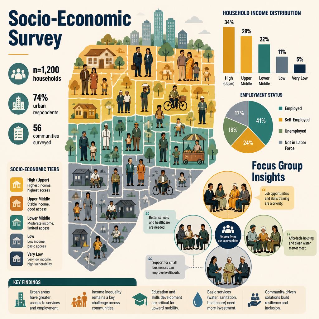
Socio-economic survey methods graphic from SKY geospatial material

Lidar Services

LiDAR & Terrestrial Scanning

  • Terrestrial scanning & land mapping
  • Ortho photo & contour model generation
  • High-resolution imagery & feature extraction
  • As-built survey, 3D & 2D modeling

UAV / Drone Data Capture

  • As-built and topography survey
  • 3D modeling & 2D drawing production
  • High-resolution aerial imagery processing
LiDAR services across infrastructure, forestry, mining and related capture

Lidar Services

Core Processing Capabilities

  • High-accuracy DTM creation for structural & volumetric analysis
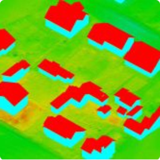
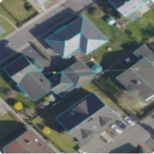
  • 3D building detection & city modeling
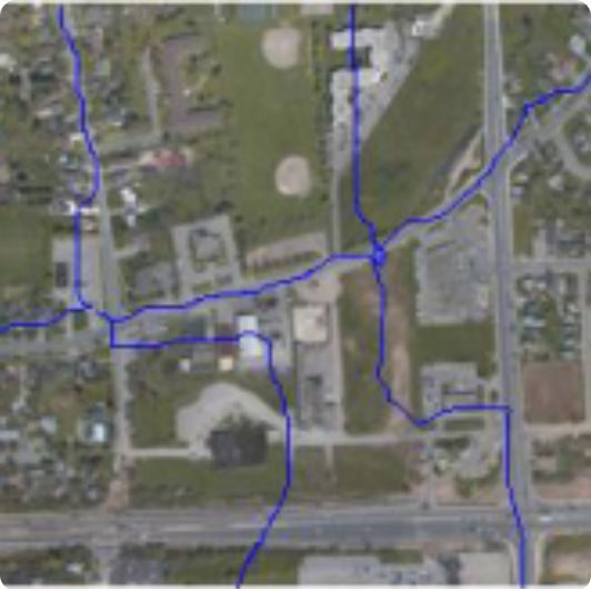
  • Hydro morphology, stream network analysis & water classification
  • Feature vectorization from point cloud surfaces
  • Power transmission line classification, tower vectorization
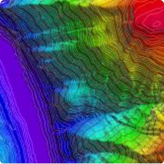
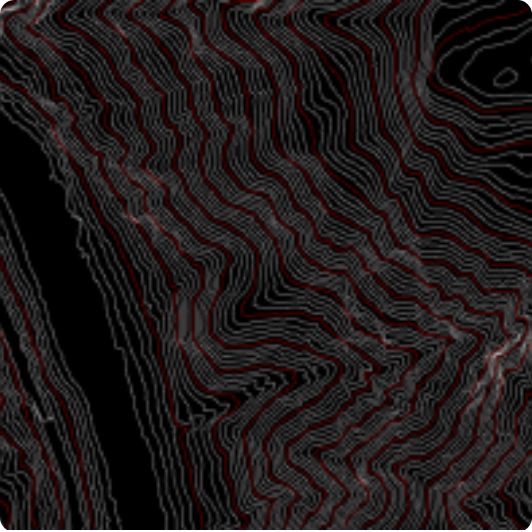
  • Contour generation & engineering-grade DTM validation
  • Ortho photo creation & orthorectification
  • Seamline editing & color balancing
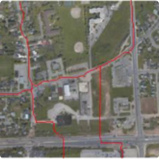
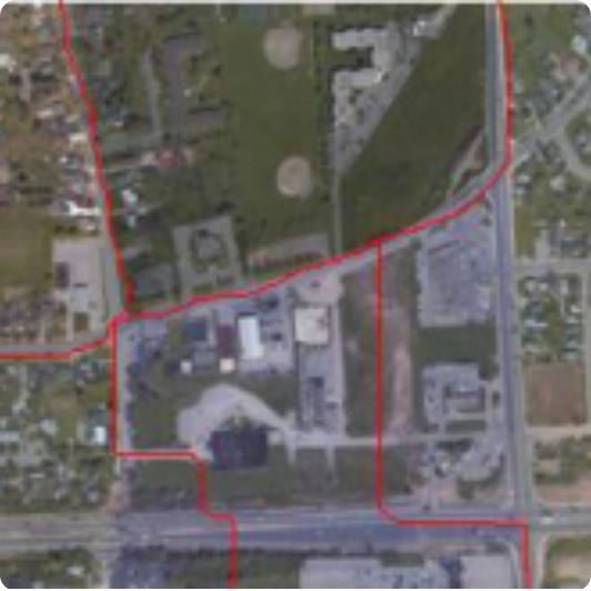
Colour-coded building extraction from LiDAR Digital elevation model with contours Topographic contour output Vector overlay on aerial imagery Parcel and corridor vector overlay Cadastral vector overlay on aerial imagery

Photogrammetry Services

Capabilities

  • Aerial Triangulation
  • Topographic & Planimetric Mapping
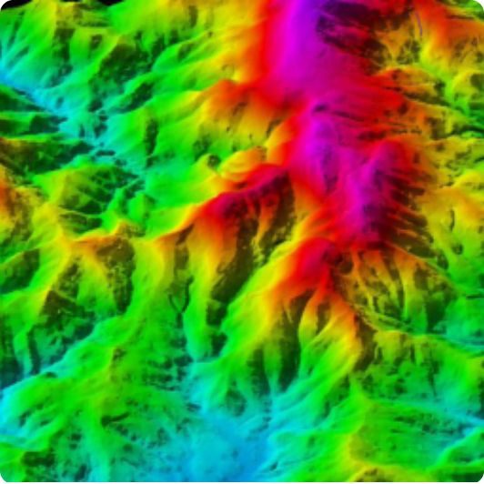
  • DEM / DTM Generation
  • Digital Orthophotography
  • Ground & Built-Up Feature Extraction
  • Hydrological Feature Extraction (flood areas, watercourses, waterfalls per spec)
  • DEM, DTM & Contour Mapping
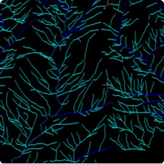
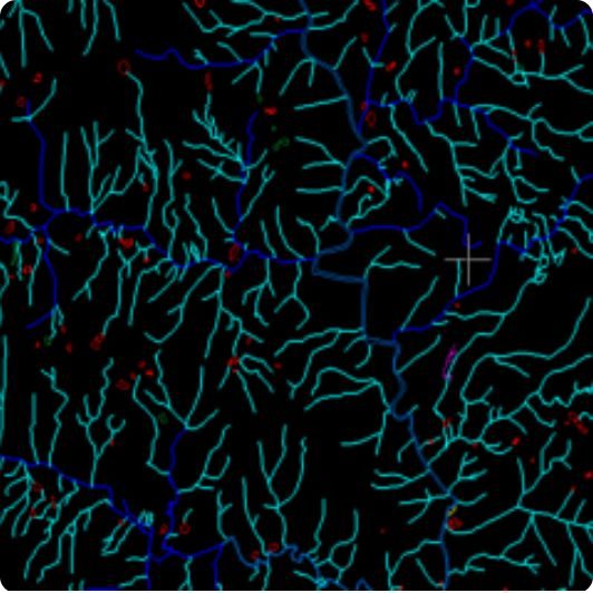
Hydrological vector network Drainage and feature vectors Colour-coded digital elevation model Building footprint wireframe Aerial rooftop feature extraction Terrain elevation model

Web based Geospatial portals

  • Unified Spatial Data Infrastructure — consolidates maps, layers, and datasets from across departments into a single, complete Spatial Database Infrastructure
  • Decision Support System — functions as a decision-support layer over Regional/Master Plans, helping authorities evaluate proposals against existing land use and infrastructure
  • Integrated MIS Reporting — links maps and spatial information directly into Management Information System (MIS) reports for institutional reporting
  • Anywhere, Any-Device Access — fully browser-based, accessible on desktop, tablet, or mobile without specialized GIS software
  • Interactive Map Controls — intuitive, interactive tools for navigating, querying, and analyzing spatial layers
  • Multi-Context Map Views — toggle between contexts such as Existing vs. Proposed scenarios for side-by-side comparison
  • Custom Map Authoring — build, save, and print custom maps tailored to specific queries or presentations
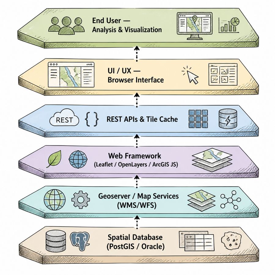
WebGIS stack from spatial database through map services to browser analysis

Showcase Projects

Indiranagar Namma Metro Accessibility Study

CLIENT: WORLD RESOURCE INSTITUTE, USA LOCATION: BANGALORE, KARNATAKA

A new travel mode profoundly reshapes urban fabric, land values, and mobility networks. This project assessed physical, economic, and institutional factors affecting pedestrian and vehicular accessibility to Indiranagar Metro Station.

Total Station Survey

TSS conducted at 3 locations around the metro station

Traffic & Pedestrian Counts

5 road intersections surveyed; pedestrian counts at 8 locations

O-D Surveys

Pedestrian Origin-Destination surveys; sample size of 350
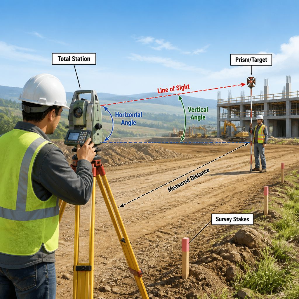
Total station survey method used on the Indiranagar accessibility study

Indiranagar Namma Metro Accessibility Study

CLIENT: WORLD RESOURCE INSTITUTE, USA LOCATION: BANGALORE, KARNATAKA

A new travel mode profoundly reshapes urban fabric, land values, and mobility networks. This project assessed physical, economic, and institutional factors affecting pedestrian and vehicular accessibility to Indiranagar Metro Station.

Total Station Survey

TSS conducted at 3 locations around the metro station

Traffic & Pedestrian Counts

5 road intersections surveyed; pedestrian counts at 8 locations

O-D Surveys

Pedestrian Origin-Destination surveys; sample size of 350
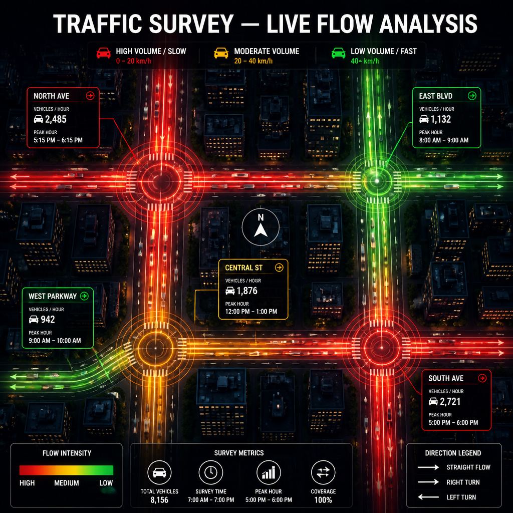
Traffic survey flow analysis graphic from SKY geospatial material

Desertification & Vulnerability Index Modelling

CLIENT: ISRO – SPACE APPLICATIONS CENTRE (NNRMS) LOCATION: BELLARY, KARNATAKA

Climatic variation and human activities have led to land degradation across arid and semi-arid regions, resulting in desertification — manifested by loss of biological quality and productivity. This project incorporated all natural and socio-economic variables to identify transitional vulnerable areas, enabling efficient policy-making to control degradation.

Total study area: 8,447 sq km

Natural Indices

Water, soil quality, soil erodability, aridity, and vegetation indices

Social Indices

Population pressure and literacy index mapping

Infrastructure Indices

Education, transport, and medical facility parameters
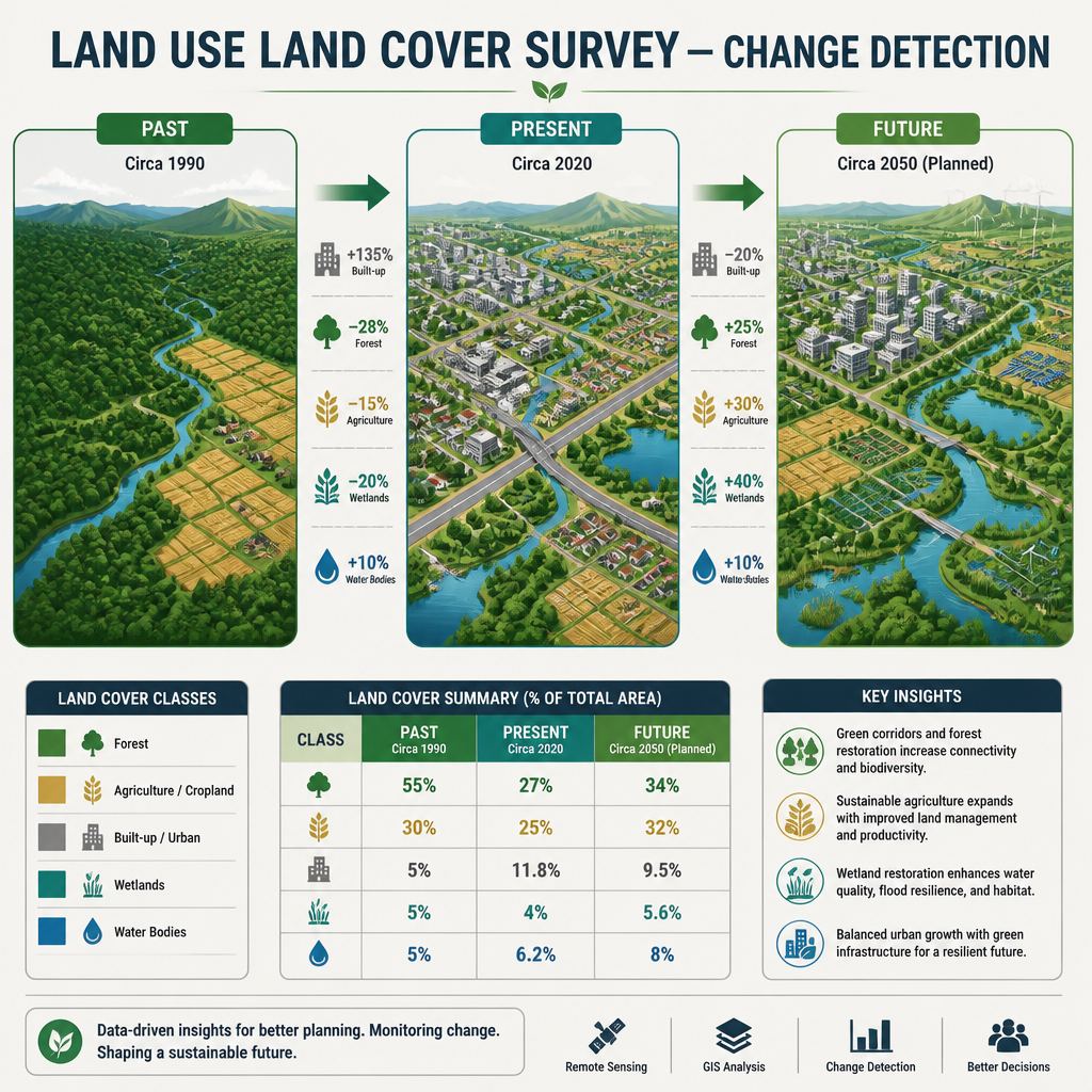
Land use land cover change-detection graphic from SKY geospatial material
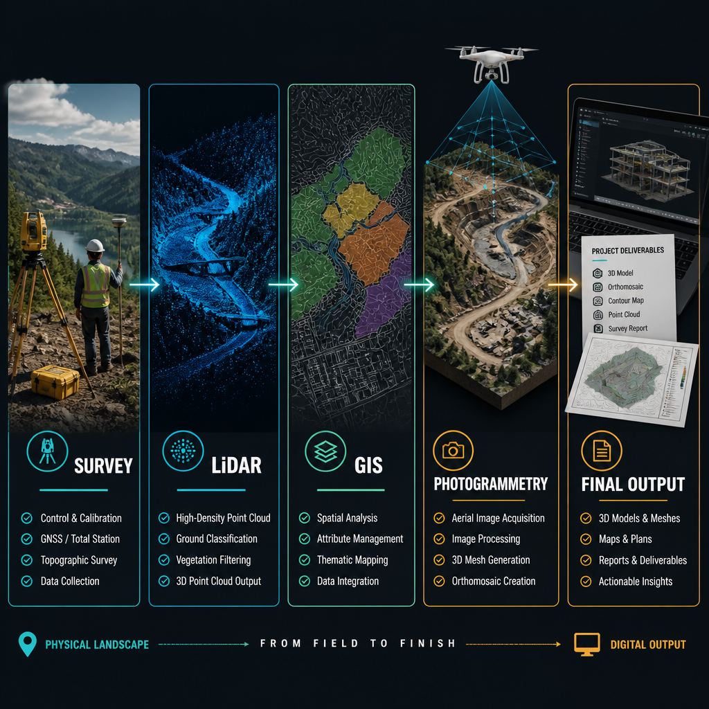
From field collection through GIS delivery — the geospatial production chain

Rajiv Gandhi Grameen Vidyutikaran Project

LOCATION: KORATPUR, ORISSA NODAL AGENCY: RURAL ELECTRIFICATION CORPORATION

Launched in April 2005, this national programme aimed to electrify all villages and rural households — 90% funded by the Central Government and 10% by the State. SKY GROUP supported Government Capacity Building by providing state-of-the-art geospatial expertise for asset management and power network expansion, bringing agencies closer to an Integrated Information Management System of international standard.
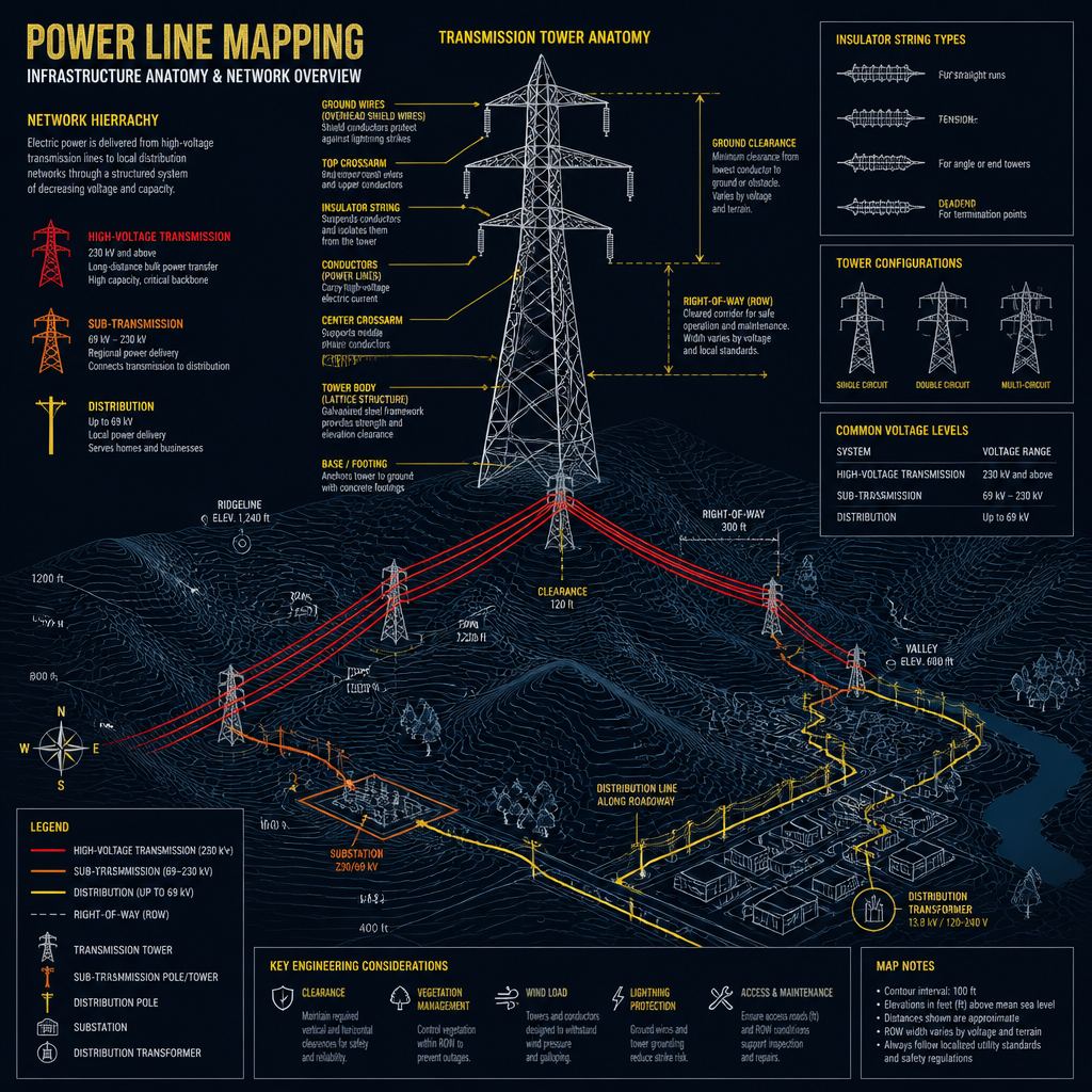
  • GPS Survey — Survey of existing HT & LT power lines and proposals for new lines
  • Asset Database — Database creation for transformers, line supports, tube wells, bore wells, and APL/BPL card holders
  • Village Mapping — Mapping of distance from substation with GPS coordinates
Power line mapping: infrastructure anatomy and network overview

GIS & RS in LT Power Network — CESC, Hassan

LOCATION: Hassan NODAL AGENCY: Chamundeshwari Electric Supply Corporation

Implemented for Chamundeshwari Electric Supply Corporation in Hassan, Karnataka, this project applied GIS and Remote Sensing to the Low Tension power distribution network, supporting efficient asset management and network planning.

  • GPS Survey — Survey of existing HT & LT power lines and proposals for new lines
  • Village Mapping — Mapping of distance from substation with GPS coordinates

Mapping of Public Spaces, Parks & Open Areas

CLIENT: BBMP, BANGALORE COVERAGE: 708.09 SQ KM | 198 WARDS

Why It Matters

Bangalore has one of India's highest urbanisation rates at 3.86% per annum. Real estate-led development has erased green spaces, posing ecological threats. Parks and open spaces are vital for microclimate regulation, recreation, and urban well-being.

Key Deliverables

  • Base map creation — mosaicing, georeferencing, satellite image extraction, and cadastral digitisation at 1:2000 scale
  • Attribution of cadastral data across all 198 BBMP wards
  • Identification and mapping of public, semi-public, parks, and open areas — 53.92 sq km
  • Final basemap and Public/Semi-public area map at 1:2000 scale

Mapping of Unauthorised Built-ups in the Green Belt

CLIENT: BBMP, BANGALORE TOTAL AREA: 1,082 SQ KM

Bangalore's green belt acts as a conurbation limit restricting urban sprawl. Though less than 12% of the green belt has been developed, encroachment along key spines has been significant. BBMP initiated this project to officially document unauthorised built-up structures and enable monitoring, control, and enforcement.

Base Map Creation

1,082 sq km mapped at 1:2000 scale via satellite imagery and cadastral digitisation

Unauthorised Area ID

Sector-wise mapping of urbanisation within the green belt

Legal Notices

Generation of notices for survey numbers with unauthorised built-up structures
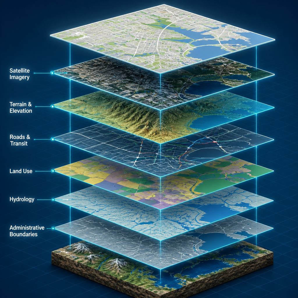
GIS data layers: satellite, terrain, roads, land use, hydrology and boundaries
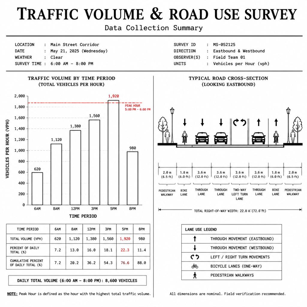
Traffic volume and road-use survey graphic from SKY geospatial material

Hosur Road Corridor Improvement Project

CLIENT: WORLD RESOURCE INSTITUTE, USA LOCATION: SOUTH-EAST BANGALORE

The Hosur Road corridor, stretching to Electronic City, has witnessed rapid growth in economic activity and work trips, leading to severe traffic congestion. While transportation networks drive economic growth, their social and safety costs — including road accidents and congestion — cannot be ignored.

On-board O-D Surveys

Passenger Origin-Destination surveys; sample size of 2,000

Bus Occupancy Survey

Conducted at 4 bus stops along Hosur Road

Traffic Counts

Comprehensive traffic count surveys along the corridor

Urban Water Bodies & Infrastructure Projects

DPR for Restoration of Tanks — BBMP, Bangalore

BBMP's Tank Restoration Project aimed to revitalise water bodies across the Bangalore Metropolitan Area, with SKY GROUP providing geospatial support for documentation and planning.

Canal Irrigation Project — Madhya Pradesh

Executed for client Theovel in Madhya Pradesh, this project applied GIS and Remote Sensing capabilities to support canal irrigation planning and management, contributing to agricultural water resource optimisation across the region.
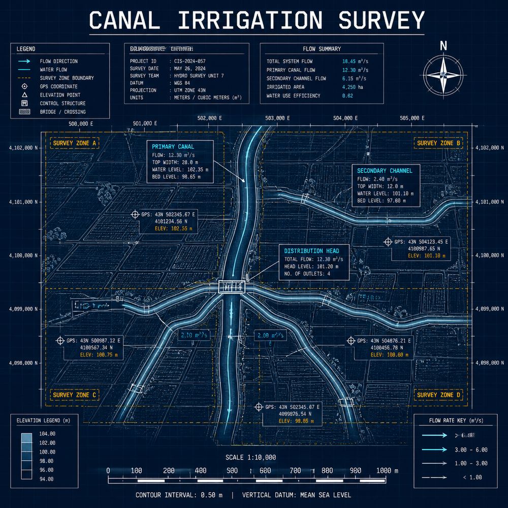
Canal irrigation survey map from SKY geospatial material

Drushti

Developed for the Bangalore Development Authority and accessible at www.bdabangalore.org, DRUSHTI is Sky Group’s flagship GIS platform — a unified spatial data infrastructure and decision support system for urban planning authorities.
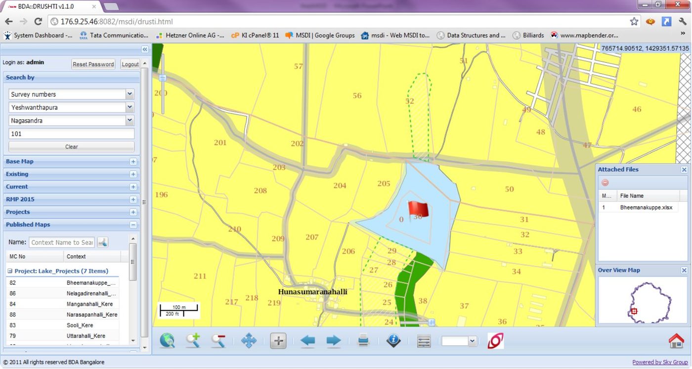
DRUSHTI v1.1 Web-GIS for Bangalore Development Authority, powered by SKY Group
  • Unified Access — View, extract, and use spatial data from a single interface, with full Spatial Database Infrastructure support.
  • Decision Support — Acts as a Decision Support System over the Regional Master Plan, integrating maps with MIS reports.
  • Accessible Anywhere — Intuitive and interactive map controls accessible on any device, with map-based report generation and custom map building, saving, and printing.
Discuss Your Project