
Who we are
A geospatial-enabled consulting firm for large-scale urban, regional and infrastructure assignments — plans, engineering packages and advisory that governments and developers use to decide and build.
Home / About SKY
The organisation
Founded in 2007 and headquartered in Bangalore. SKY Group plans, maps and engineers complex urban and regional work with spatial evidence at the centre.
A geospatial-enabled consulting firm for large-scale urban, regional and infrastructure assignments — plans, engineering packages and advisory that governments and developers use to decide and build.
Capture without planning, plans without engineering, or investment without statutory context leaves a gap. The four practices exist as one thread.
From survey to statutory plan to implementable infrastructure — spatial evidence stays at the centre of the work.
Founded in Bangalore
Years in operation
Projects delivered
Government authorities served
Sq. km mapped
In-house Web-GIS platform
Founder & Director of SKY Group.
SKY Group · Bengaluru, Karnataka
Akash M is the Founder and Director of SKY Group, a Bengaluru-based multidisciplinary consultancy working across geospatial intelligence, urban and regional planning, surveying, infrastructure and development advisory. He founded SKY Group in 2007, building the practice around the application of geospatial information, planning and technology to understand and address complex urban and development contexts.
Over nearly two decades, Akash has guided SKY Group's evolution from its early focus on geospatial and urban planning into a multidisciplinary practice bringing together planning, GIS, surveying, spatial databases, engineering support and technology-enabled solutions. His professional experience spans GIS, urban planning, spatial databases, business strategy and management.
Throughout his work, Akash has placed particular emphasis on the role of geospatial information as a foundation for planning and decision-making. His approach is rooted in bringing together spatial data, field-based understanding, planning expertise and technology to develop a more informed understanding of places, their existing conditions and their potential for development.
Alongside building Sky Group, Akash has been an active contributor to public-sector planning, having served as a Member of the Sensitive Zone Committee at the Bangalore Development Authority (BDA) from 2007 to 2014, working closely with academic and civic leadership on geospatial and environmental assessments of urban developments across Bangalore.
As Founder and Director, Akash has been closely involved in shaping SKY Group's professional direction, business development, client relationships and multidisciplinary capabilities. His role extends beyond individual project delivery to building a practice in which people, planning, spatial intelligence and technology work together to address questions of urbanization, infrastructure, land and development.
Today, Akash continues to lead SKY Group as it evolves its capabilities across geospatial-led planning, engineering and advisory. His focus remains on translating complex spatial and development information into clear, practical and actionable insights for cities, infrastructure and development.
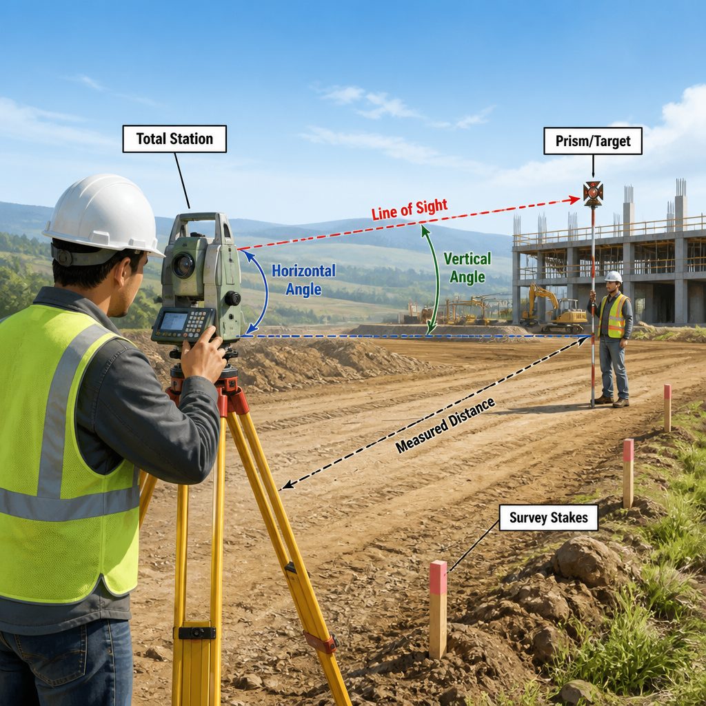
Survey → data → analysis → planning → design → development. Field and aerial survey establish site conditions. Spatial, demographic and infrastructure data are structured in GIS. Analysis identifies constraints, risks and opportunities. Planning and design convert that into statutory and physical proposals. SKY then supports development with technical guidance that can actually be implemented.
Field and aerial capture
GIS-structured layers
Constraints and risk
Statutory spatial plans
Physical proposals
Implementable guidance
Aligned to client specifications — not a low-cost pitch. International geospatial and engineering organisations can assign defined production workloads to SKY. Delivery follows client workflows and quality requirements.