
Home / Projects / Public Spaces, Parks & Open Areas

Urban Planning

Public Spaces, Parks & Open Areas

Map public, semi-public, parks and open areas across BBMP as Bangalore urbanises at 3.86% per annum.
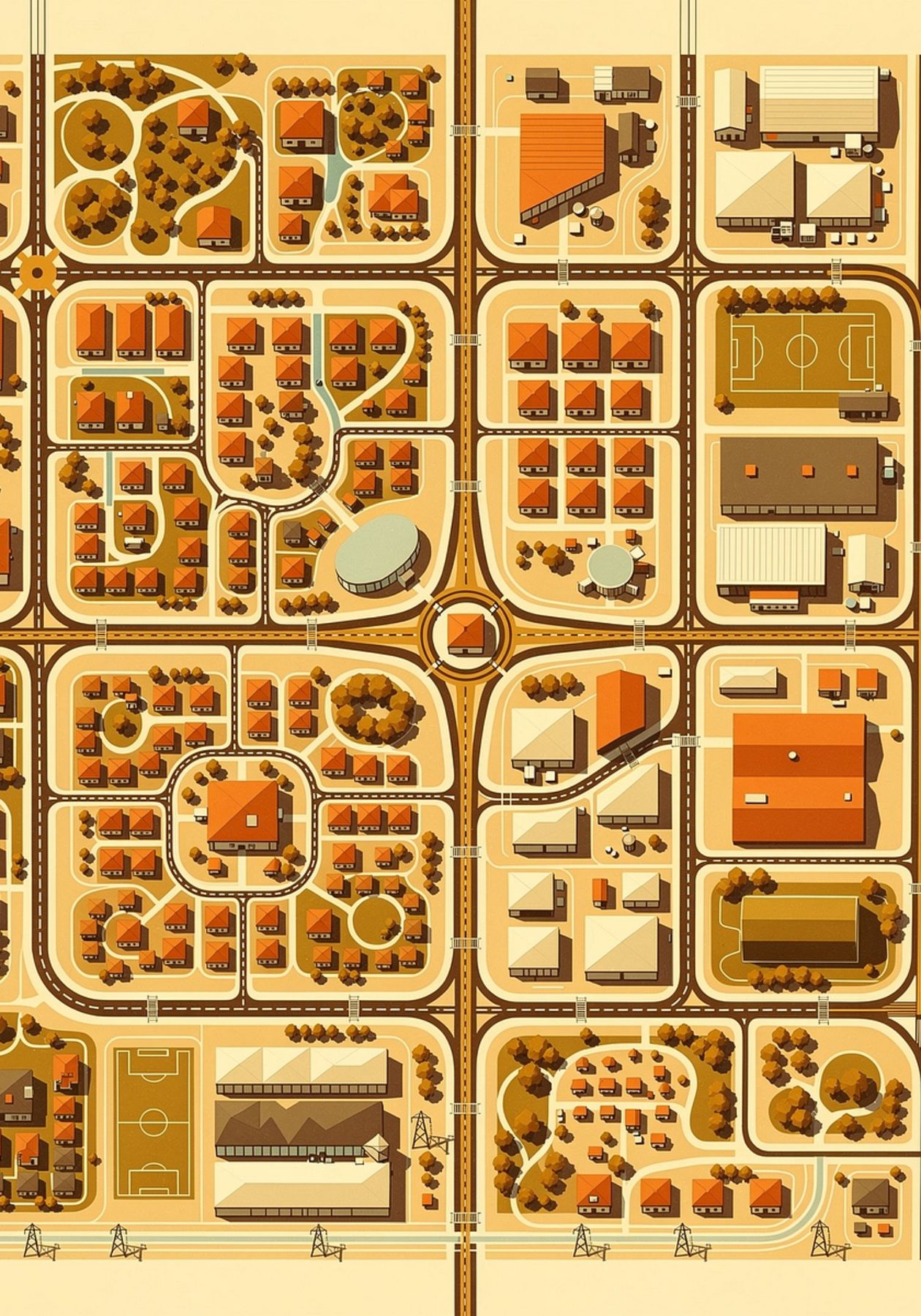
Public Spaces, Parks & Open Areas

The brief

Technology / methodology

Base map at 1:2000 — mosaicing, georeferencing, satellite extraction and cadastral digitisation; attribution across 198 wards.

What SKY did

City-wide GIS inventory of public and semi-public parks and open spaces across 198 wards.

What was delivered

Final basemap and public/semi-public area map at 1:2000, covering 708.09 sq. km, with 53.92 sq. km of parks and open areas identified.

Outcome

A governance-ready baseline for open-space planning, protection and investment.

ClientBBMP
LocationBengaluru
PracticeUrban Planning
SectorUrban Development
GeographyKarnataka
Scale708.09 sq. km · 198 wards · 53.92 sq. km parks/open areas
Discuss a similar requirement

Related work

Back to projects Discuss Your Project
Home About SKY
Capabilities Geospatial Urban Planning Engineering Real Estate Advisory
Projects Contact Discuss Your Project