
 01 Geospatial
Spatial intelligence
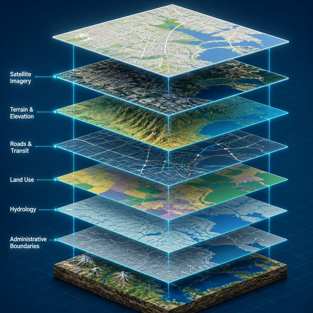
Survey, GIS, LiDAR, photogrammetry and WebGIS produce the spatial baseline.
SKY Group · Bangalore · Since 2007
SKY Group is an established, multidisciplinary organisation combining Geospatial, Urban Planning, Engineering and Real Estate Advisory for complex urban, infrastructure and development work.
What SKY does
Geospatial intelligence feeds planning. Planning becomes engineering. Engineering and spatial evidence inform development and investment decisions.
 01
Geospatial
01
Geospatial
Spatial datasets that planning, engineering and governance actually use.
Explore Geospatial 02
Urban Planning
02
Urban Planning
Statutory and strategic plans built on a GIS baseline.
Explore Planning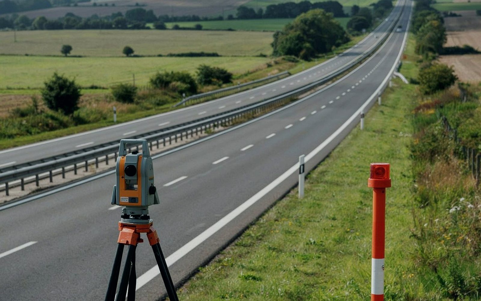 03
Engineering
03
Engineering
Terrain, traffic and constructible DPRs in one practice.
Explore Engineering 04
Real Estate Advisory
04
Real Estate Advisory
Location intelligence on land SKY already maps and plans.
Explore AdvisoryHow the practices connect
This is why the four practices sit in one organisation. Geospatial provides spatial intelligence. Planning converts that intelligence into plans and strategies. Engineering converts plans into implementable solutions. Real Estate Advisory applies spatial, planning, market and financial intelligence to development and investment decisions.
01 Geospatial
Survey, GIS, LiDAR, photogrammetry and WebGIS produce the spatial baseline.
 02 Planning
That intelligence becomes land use, corridors, townships and policy.
 03 Engineering
Plans become roads, drainage, waste packages and constructible DPRs.
 04 Advisory
Spatial, planning, market and financial intelligence inform investment.
Ground-truth and aerial capture become the spatial baseline.
Layers, indices and models turn capture into evidence.
Evidence becomes land use, corridors, townships and policy.
Plans become roads, drainage, waste and constructible packages.
Spatial, planning and market intelligence inform investment.
Who we serve
ULBs, municipal corporations and line departments that need GIS, surveys and statutory plans.
Planning authorities and regional bodies preparing master plans, LPAs and corridor plans.
Site assessment, due diligence, sanctioning support and investment analysis.
Roads, metro access, traffic, drainage and large-area network planning.
Selected projects
Three delivered assignments — one from each of geospatial, planning and engineering. The rest of the portfolio is on the projects page.
Next step
Tell SKY the organisation, sector, location and timeline. We will come back with a clear technical conversation — not a generic brochure reply.