
Home / Projects / Desertification & Vulnerability Index Modelling

Geospatial

Desertification & Vulnerability Index Modelling

Incorporate natural and socio-economic variables to identify transitional vulnerable areas and support policy to control land degradation.
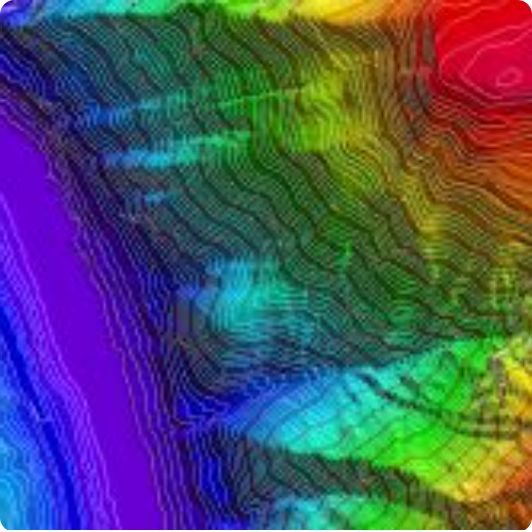
Desertification & Vulnerability Index Modelling

The brief

Technology / methodology

Remote sensing and GIS: water, soil quality, erodibility, aridity and vegetation indices; population and literacy; education, transport and medical infrastructure parameters.

What SKY did

SKY modelled desertification and vulnerability across the Bellary study region using satellite-derived and socio-economic indicators.

What was delivered

Mapped desertification and vulnerability surfaces covering 8,447 sq. km.

Outcome

A decision-ready spatial dataset for land-degradation monitoring and policy response.

ClientISRO – Space Applications Centre (NNRMS)
LocationBellary, Karnataka
PracticeGeospatial
SectorGovernment
GeographyKarnataka
Scale8,447 sq. km
Discuss a similar requirement

Related work

Back to projects Discuss Your Project
Home About SKY
Capabilities Geospatial Urban Planning Engineering Real Estate Advisory
Projects Contact Discuss Your Project