
Home / Projects / DRUSHTI — Unified Spatial Data Infrastructure & Decision Support System

Geospatial

DRUSHTI — Unified Spatial Data Infrastructure & Decision Support System

Give planning administrators a unified viewer for statutory master-plan and cadastral information.
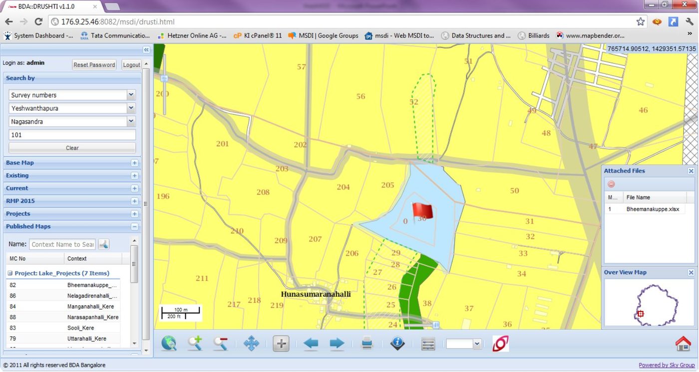
DRUSHTI — Unified Spatial Data Infrastructure & Decision Support System

The brief

Technology / methodology

Browser-based Web-GIS on a spatial database infrastructure: existing vs proposed, MIS-linked reports, survey-number search, any-device access.

What SKY did

SKY developed DRUSHTI for BDA as a unified spatial data infrastructure and decision-support system over the regional master plan.

What was delivered

Production Web-GIS (DRUSHTI v1.1) covering about 1,300 sq. km of Bangalore, powered by SKY Group.

Outcome

Technical data aligned with MIS reporting and day-to-day administrative use.

ClientBangalore Development Authority
LocationBengaluru
PracticeGeospatial
SectorGovernment
GeographyKarnataka
Scale1,300 sq. km
Discuss a similar requirement

Related work

Back to projects Discuss Your Project
Home About SKY
Capabilities Geospatial Urban Planning Engineering Real Estate Advisory
Projects Contact Discuss Your Project