Home / Projects / GIS & Remote Sensing of LT Power Network
Geospatial
GIS & Remote Sensing of LT Power Network
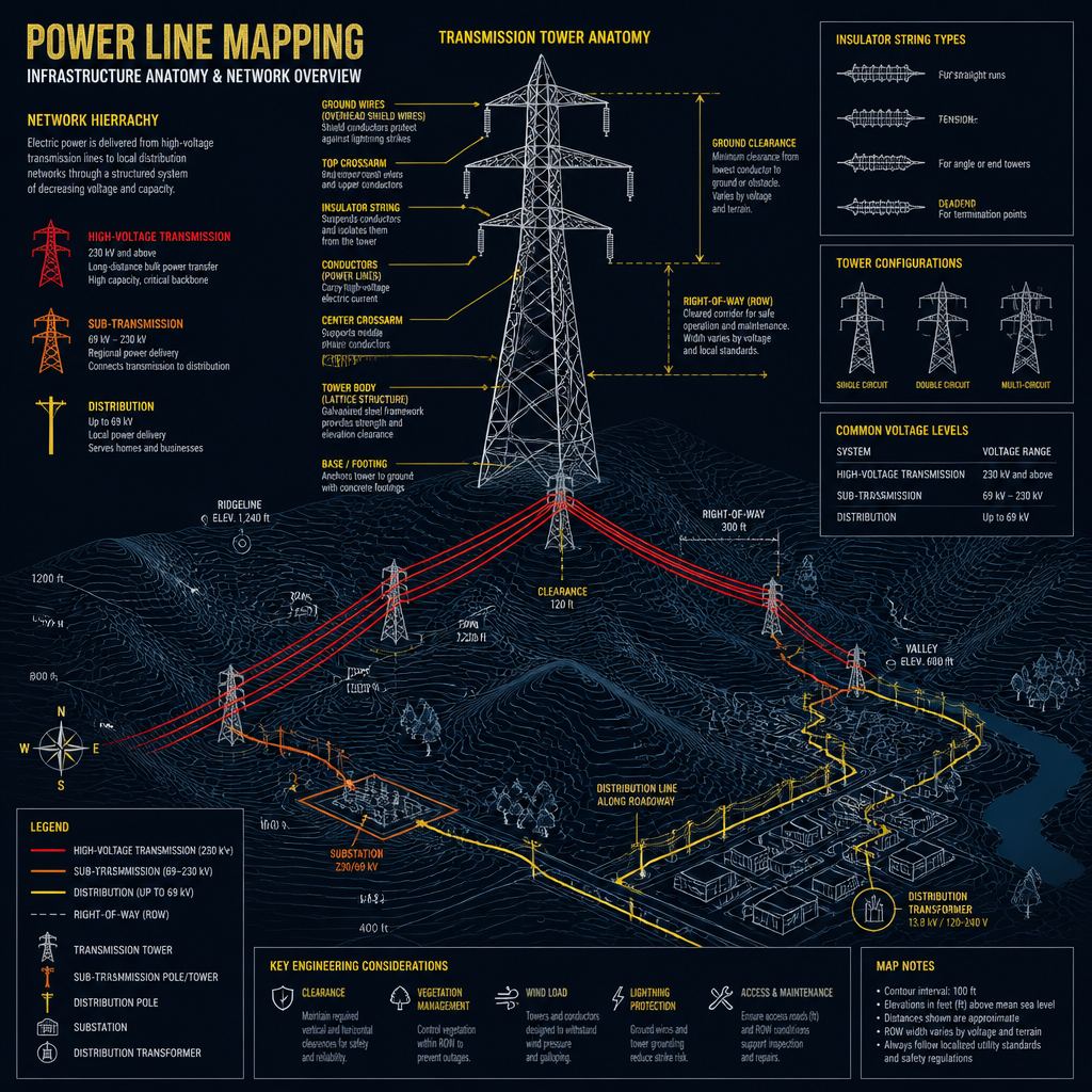
Map the low-tension power network using GIS and remote sensing for CESC Hassan.
The brief
Technology / methodology
GIS/RS interpretation, feature extraction and power-line / infrastructure classification.
What SKY did
SKY located, classified and structured LT network geometry for utility operations in Hassan.
What was delivered
Spatial layers of the LT power network for CESC.
Outcome
A geospatial baseline for network planning and operations.
ClientChamundeshwari Electricity Supply Corporation (CESC)LocationHassan, KarnatakaPracticeGeospatialSectorInfrastructureGeographyKarnatakaScaleLT power network mappingDiscuss a similar requirement