
Home / Projects / Rajiv Gandhi Grameen Vidyutikaran Yojana — GPS & GIS Mapping

Geospatial

Rajiv Gandhi Grameen Vidyutikaran Yojana — GPS & GIS Mapping

GPS-map HT/LT lines and build an asset database for rural electrification in Koratpur.
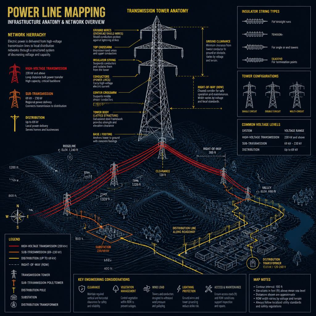
Rajiv Gandhi Grameen Vidyutikaran Yojana — GPS & GIS Mapping

The brief

Technology / methodology

GPS of HT/LT lines; asset database of transformers, supports, tube/bore wells and APL/BPL households; village mapping against substations.

What SKY did

SKY captured network geometry and village-level electrification assets for the RGGVY programme.

What was delivered

GPS/GIS asset database and village-to-substation mapping for Koratpur.

Outcome

A spatial record of rural electrification infrastructure for programme monitoring.

ClientRural Electrification Corporation (nodal) / RGGVY
LocationKoratpur, Odisha
PracticeGeospatial
SectorInfrastructure
GeographyOdisha
ScaleRural electrification asset mapping
Discuss a similar requirement

Related work

Back to projects Discuss Your Project
Home About SKY
Capabilities Geospatial Urban Planning Engineering Real Estate Advisory
Projects Contact Discuss Your Project